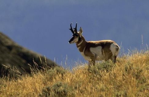
CDFW Report Prioritizes Important Wildlife Connectivity Project Locations
The following is courtesy of the California Department of Fish and Wildlife:
The California Department of Fish and Wildlife (CDFW) has released an updated report identifying the most important areas to advance wildlife connectivity projects. The report, “Restoring California’s Wildlife Connectivity 2022 (PDF)(opens in new tab),” prioritizes which roadways, railways and other human-created infrastructure are the greatest barriers to wildlife movement addressing where habitat connectivity projects are needed most. The report lists 62 obstacles statewide, with 12 of those recognized as top priority barriers to remove. A vast majority of the barriers are part of the state highway system, but rail lines and canals also limit the ability of wildlife to roam freely.
The new report underscores California’s international leadership on improving wildlife connectivity. It is also a key strategy (PDF)(opens in new tab) within California’s landmark 30×30 target, which calls for the state to conserve 30 percent of its land and coastal waters by 2030 and identifies wildlife overcrossings as a means of protecting California’s biodiversity. The new connectivity report serves as an important guide to state, federal, tribal and local governments as they work together to improve wildlife connectivity.
“Connectivity is essential to life; it’s key for us as people and the same is true for animals,” said CDFW Director Charlton H. Bonham. “Animals need connection to habitat, places to live, to thrive, food and water, and freedom and room to roam. This report highlights top obstacles to that freedom and room to roam within the state so California can take appropriate action to right those wrongs.”
The 2022 report expands upon CDFW’s 2020 report with additional barrier information, and the new version is expected to play a major role in the California Department of Transportation’s (Caltrans) road project designs to reduce the number of wildlife collisions. A recently signed Safe Roads and Wildlife Protection Act requires Caltrans to identify barriers to wildlife movement and prioritize crossing structures when building or improving roadways.
“Barriers are one thing humans have control over because they’re man made,” said CDFW Senior Environmental Scientist Melanie Gogol-Prokurat. “We are excited to remediate them and fix issues so wildlife can move across the landscape. If a population becomes isolated it can lead to inbreeding, which causes detrimental effects and can eventually lead to the population dying out.”
Current California examples of wildlife-friendly infrastructure include the recently approved Annenberg Wildlife Crossing(opens in new tab) in Agoura Hills, northwest of Los Angeles, and the Laurel Curve project(opens in new tab), a Highway 17 undercrossing in Santa Cruz County, on which construction is nearing completion.
The state’s 12 top priority barriers featured in “Restoring California’s Wildlife Connectivity 2022” stretch from a section of Highway 101 near the Oregon state line to a piece of Interstate 8, just north of the U.S./Mexico border.
“We’re thrilled to be a part of this shift to big-picture thinking for wildlife,” said Bonham. “We’ve got funding from the State Legislature and the Wildlife Conservation Board to invest in connectivity projects, and we’re finding actual projects on the ground in our partnership with Caltrans that are really making a difference.”
The full Restoring California’s Wildlife Connectivity 2022 (PDF)(opens in new tab) spatial datasets are available in the Habitat Connectivity Viewer(opens in new tab) in CDFW’s Biogeographic Information and Observation System (BIOS)(opens in new tab). For additional information about CDFW’s Habitat Connectivity data and analysis, see the CDFW Terrestrial Habitat Connectivity web page. Information about funding opportunities is available at Restoration Grant Opportunities – Accepting Concepts.